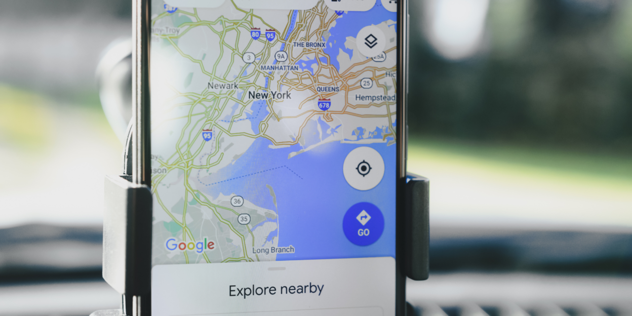
Google is set to make exploring national parks even easier with new updates to Google Maps. The improvements, scheduled to be rolled out this month, will coincide with National Park Week, which begins on April 22nd.
Previously, finding directions to a trailhead on the app was hit or miss, and navigating trails without a preview of the route on Maps was challenging.
With the new update, users can search for a specific trail within a US national park, and Google Maps will now display the entire route of the trail, rather than just a pin. The app will also provide walking and cycling directions to the trailhead and allow users to download a map of the park for offline access.
For those unsure where to start in large national parks, Google Maps will offer photo highlights of the park’s most popular attractions upon search. User reviews and information about each spot will be available, and for trails, details about the difficulty and the recommended mode of travel – by foot or bike – will be provided.
Google plans to roll out these features globally in the coming months for both iOS and Android users, as stated in the company’s blog post. However, it remains unclear whether similar features for trails outside national parks will be introduced.
Do you use Google Maps? Will this new update encourage you to now use maps when you hike National Parks? Let us know in the comments.


